Managing access
Map boundaries
Manage administrative boundary data per country (global admin).
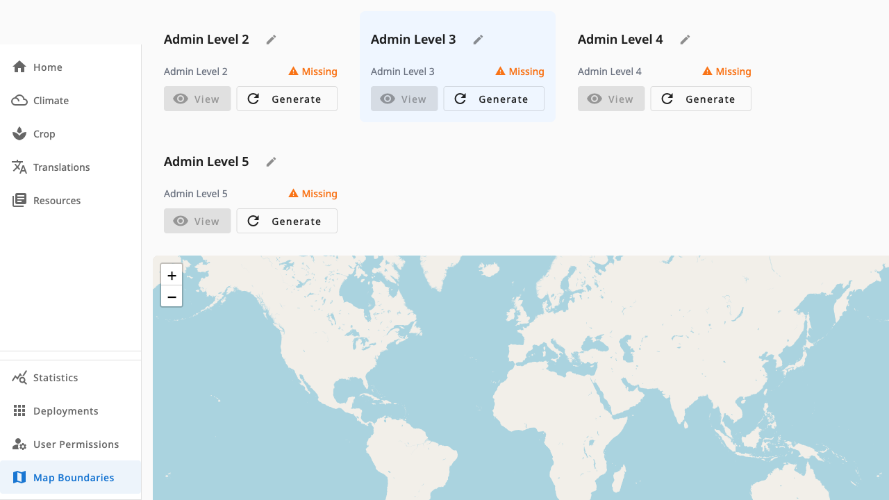
Map Boundaries (requires app.admin, the strictest role) manages the TopoJSON administrative boundaries that power every map in the dashboard — station maps, location labels and the station picker.
 1234
1234- 1Admin level cards — one per boundary level, with Available/Missing status
- 2View renders the level on the map; Generate re-syncs it from the backend
- 3Map preview — the selected boundary level drawn over OpenStreetMap
- 4Level labels are editable so they match local terminology
Workflow
- View a level to render its boundaries on the map and check coverage.
- If a level is Missing or stale, Generate re-syncs it from the backend (a spinner shows progress).
- Rename level labels with the edit action so they match local terms (for example Province vs District).
Boundary data underpins location names across Crop and Climate pages — regenerate carefully and verify maps afterwards.